Last Sunday, we left
Fairbanks on our last trial voyage before the big trip. This time we headed northeast on the
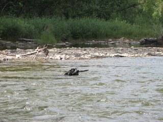
Steese Highway to the communities of Central and Circle. We stopped at most of the waterways along the route because we have a dog who loves the water. When Sprout sees a river through the window or gets a sniff of it, watch out. You are better just to pull over and let her do her thing. She had a great trip swimming until she was shaking with the cold but too stubborn to get out and dry off. We found a little campground maintained by the BLM along
Cripple Creek. We spent two days there walking the trail, hanging out at the river and slapping mosquitoes.
Sprout Swimming
The Steese Highway has seen its share of fire the past couple of seasons. As a result, the fireweed was out in full force. We spent some time hanging out in it and taking some photos.
Fireweed Along the Steese Highway

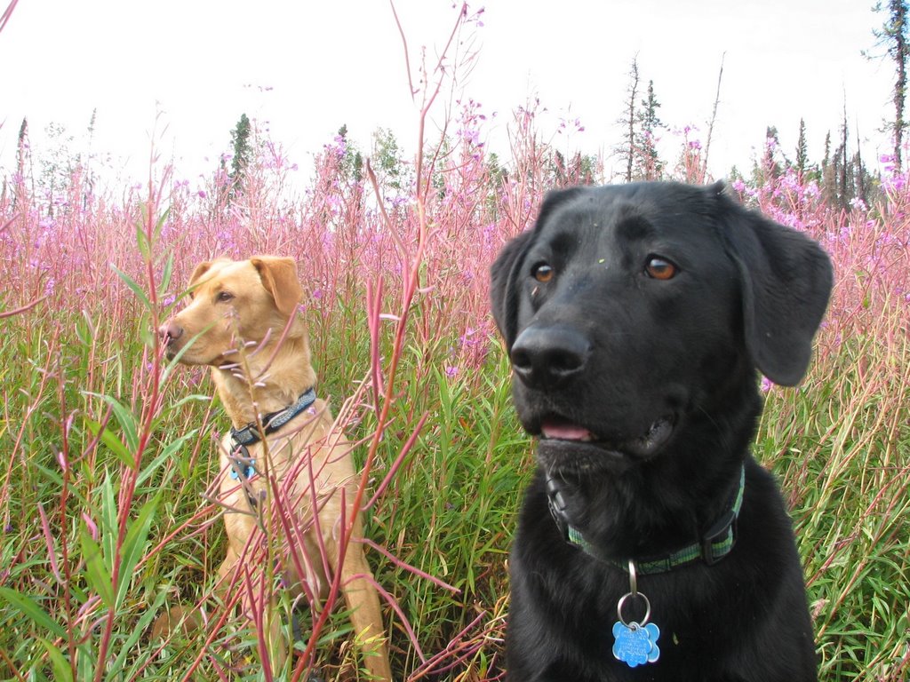
Sprout and Otis Watching the Day Go By
You don’t want to know how many shots it took to finally get this good one of the dogs!

About 120 miles outside of
Fairbanks, we went through the small community of Central. This is truly a mining community where government employees are not welcome. This sign was posted in the museum in town. It didn't look that old.

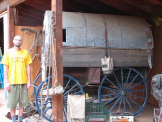
Central is a beautiful little community. It was very well kept; lawns were mowed and flowers were all over. You can tell the residents take pride in their homes. There was a small mining museum in the town with lots of old mining equipment and photos. We even found an old timey RV.
The road dramatically changed near Eagle Summit. The trees made way for gorgeous views of alpine tundra. We spent some time exploring the area and seeing how far up we could climb.
Eagle Summit: Notice the Alpine Tundra in the Background

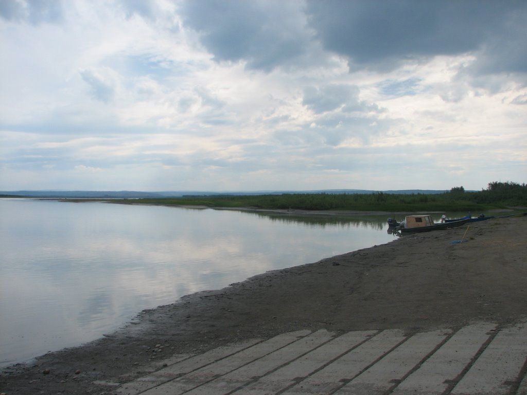
The Steese Highway ends in the village of Circle City. We believe this is an Athabaskan Indian village but there was nobody around to ask. Circle is neat because it sits on the Yukon River, one of the longest rivers in the world and the major drainage in Interior Alaska. This river starts in the Yukon Territories and flows all the way across Alaska to the western part of the state. There it gets close to another major river, the Kuskokwim, and creates a huge river delta before they both flow out to sea. Neither dave or I have been to this region of the state.
Yukon River in Circle

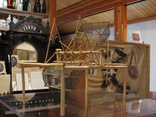
Near the Yukon in Circle there was a fish wheel sitting on the bank. Although we didn’t get a good photo of it, we did get this shot of a miniature fish wheel in the museum in Central. The whole thing floats in the river and the current makes it turn. As it turns, it catches fish in the baskets which deposits them on the raft to be cleaned. It is a really cool invention. The technique has been used by Natives for a long time.
Fish Wheel in Central Museum
We now are back in Fairbanks. We have five days to organize our stuff, put some away into storage and move out of the cabin. We intend to be off for good heading towards Paxon on August 1. Lots to do before then, so we better get going.


0 Comments:
Post a Comment
<< Home