Maps of Canada
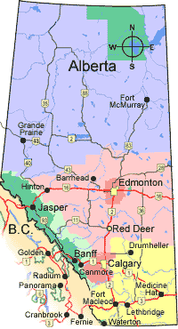
Alberta Map
We came from the area between Jasper and Banff and camped just outside the Park borders. This was the nice campspot with the view overlooking the river valley. From there we headed up to Edmonton and eventually due east in Saskatchewan.
Saskatchewan Map
From Edmonton we headed to Prince Albert National Park. You can see the green spot that marks the park in central Saskatchewan. From there we went southeast towards the green spot in Manitoba (Riding Mountain National Park).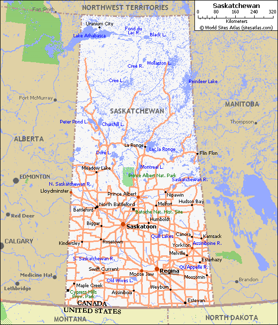
Manitoba Map
In Manitoba we really started moving. The only stop was Riding Mountain National Park before we headed east into Ontario.
Ontario Map
We came into Ontario from the southeast and made our way to Thunder Bay on Lake Superior. From there we wound our way along the coast of Lake Superior and eventually made it back into the states at Sault Ste. Marie. (There is a Sault Ste. Marie Ontario and Michigan - two different cities with an internatioal border between them.)
posted by dave and jody at
7:32 AM
![]()

0 Comments:
Post a Comment
<< Home