Where's Dave and Jody?

Tuesday, September 26, 2006

Computer Problems

Please be patient with us. We are having lots of computer problems. We are unable to upload blogs at the library because our jump drive is too small to hold all the text and photos. We have lots of blogs written and ready to go. We will upload them when we hit Dave's parents house near the end of October.

Sorry for the inconvience. We are super glad you are reading!!

PS
We are currently in Manitoba heading towards Winnipeg. We should be in the Upper Peninsula of Michigan within the week.

Friday, September 15, 2006

Changes to the Blog

We made a few changes to the blog today.

1. It seems people were having problems commenting. We have now allowed all users to comment without signing up as a user. We just realized that was an option. So start commenting. We like to hear from you.

2. We now have a profile. If you click "View My Complete Profile" you can see it. Those of you who have started reading for the first post will see some silimarities.

3. You can now email us directly from this blog through the email link in the profile page.

4. We posted maps yesterday. We will try to continue this practice so you can easily see where we are on a large scale.

Thursday, September 14, 2006

Map of Where We Have Been

It seems most of you reading have not been able to put into context where we have been traveling. Here are three maps to help you out. I think you can double click the map and it will open a larger view of it.

We started in Fairbanks and went the following route: Fairbanks - Coldfoot - Prudhoe Bay - Fairbanks - Circle - Fairbanks - Delta Junction - Paxon - Talkeetna - Anchorage - Homer - Seward - Whitter- Anchorage - Glenn Allen - Valdez - Kennicott - Glenn Allen - Tok - Chicken- Eagle - Boundary - Dawson City - Carmacks - Whitehorse - Haines Junction - Haines

Map of Alaska

Route continued via Alaska Marine Highway Ferry: Haines - Juneau - Petersburg - Wrangell - Ketchikan - Prince Rupert, BC

Map of Southeast Alaska

We got off the ferry at Prince Rupert and are heading east toward Edmonton. We are currently 120 miles west of Terrace. We will go towards Prince George first, then drop down to Jasper(that is the big green area on the border with Alberta) and then head back northeast to Edmonton.
British Columbia Map
Hope this helps!

Canadian Views of American Politics

It seems rather ironic that other countries seem to have a better grasp on the American political system than most Americans. Most of the people we’ve talked with had similar views on how the US is perceived outside our borders.

Pay close attention to the symbolism in the following photos. If you don’t agree with what they represent …. then you have just proven our point!!

The stars in this painting are corporation logos such as GE, Nike, McDonalds, etc.
The TV sets had "See No Evil, Hear No Evil, Speak No Evil written above.
The president's legs looked like a robot.

Most of the towns in Canada have their own government funded skateboard park. They encourage people to create art on the concert areas of these parks.

Ketchikan

Ketchikan is a pretty neat town …. when it is not inundated with cruise ships. They get nearly a million cruise ship visitors a year. On any given day the population of the town doubles depending on the amount of cruise ships. There isn’t enough dock space to accommodate these huge ships anymore so some will anchor out in the harbor and take the passengers to shore with smaller ships. Needless to say there were a few ships in town and that meant LOTS of people.

The unfortunate side of the cruise ship industry is that they funnel passengers to stores and activities that are either owned by the cruise line or have paid the cruise line a kick back. They leave the local businesses to fight for the scraps. Local business owners have a hard time competing with the deep pockets of the cruise industry. So the next time you consider taking a cruise, be sure to visit the other shops and tours NOT listed on your ship’s literature.

Creek Street is one of the major attractions of Ketchikan. All the stores and restaurants are situated on pilings overlooking a small creek. This time of year the creek is filled with salmon and seal trying to catch an easy dinner. Chances are if you have seen a photo of Ketchikan it was of Creek Street.

Ketchikan is also home to many totem poles. Carved by local artists these poles reflect a variety of events such as a death of a leader, a legend, or even a way to shame people. The poles are carved from a single cedar tree that is felled with great respect. The carver is told which images are requested to be carved but he has sole discretion as to the exact way it is done. Once the pole is completed the person who requested that is be made throws a potlatch for the entire community. During the potlatch the symbols are explained and a huge feast is provided. It some cases potlatches can last for days with lots of gift giving and some people traveling for days to attend.

Dave Looking at a New Totem Being Carved

Ketchikan also had a great example of a clan house. Up to 50 people lived in these well carved structures (roughly 25’ by 30’). There is a community fire pit in the center and benches along the perimeter. The floor boards can be removed for additional storage. Dried meat and furs were hung from the rafters.

From Ketchikan we take our last ferry ride south to Prince Rupert, Britich Columbia. This means we will finally be back on the mainland and connected to the North American highway system.

Wrangell

Happy Anniversary to us!!! We made it three years as of September 6th!! We celebrated the way you would expect us to - with beer and pizza at one of the local bars!!

Sure enough the Wrangell Narrows were just that – very narrow. We were wondering why the trip was scheduled to take three hours. We quickly found out that the ferry wasn’t able to travel very fast due to the narrow channel and abundance of other marine traffic.

Upon arriving in Wrangell we were not surprised to find it nestled on the shore of huge mountains, as this is the trend in southeast Alaska. At 2,100 residents, Wrangell is a tad bit bigger then Petersburg but doesn’t seem to have the same flair that would encourage you to make it your home.

The two main attractions in Wrangell are its abundance of totem poles and the ancient petroglyphs on the shoreline. Since it wasn’t raining too hard when we arrived we decided to start with the petroglyphs. Over 40 different ones have been etched in the rocks. The local Natives’ oral traditions do not mention them and scientists are still clueless as to who carved them and for what purpose, although there are numerous theories; welcoming the salmon back to their spawning grounds, doodling, ceremonial grounds, etc. (Dave thinks the doodling theory is the best.) Here are just a few of them we saw.

There were totem poles located throughout the town. We will talk more about totem poles in the Ketchikan post. For now, here are a couple of photos.

We spent our time in Wrangell at a FREE US Forest Service campground overlooking Zimovia Straight. The campground itself is rather unique. Along a stretch of road there are as few different campsites. Each “campground” is composed of only one to three sites, each with its own outhouse, fire pits, picnic tables and firewood boxes. When the clouds would part we had spectacular scenery. When the clouds socked us in we had great views of fog. We were able to see the Straight because the sites were in old clear cuts. Because all the trees were gone it was easier to create these views that would have been hidden by trees. Here are a couple of photos when the clouds parted.

(Linda: This is what Dave was looking at when he was talking to you.)

From Wrangell we went south towards Ketchikan (our last Alaskan stop before we hit Canada).

Petersburg

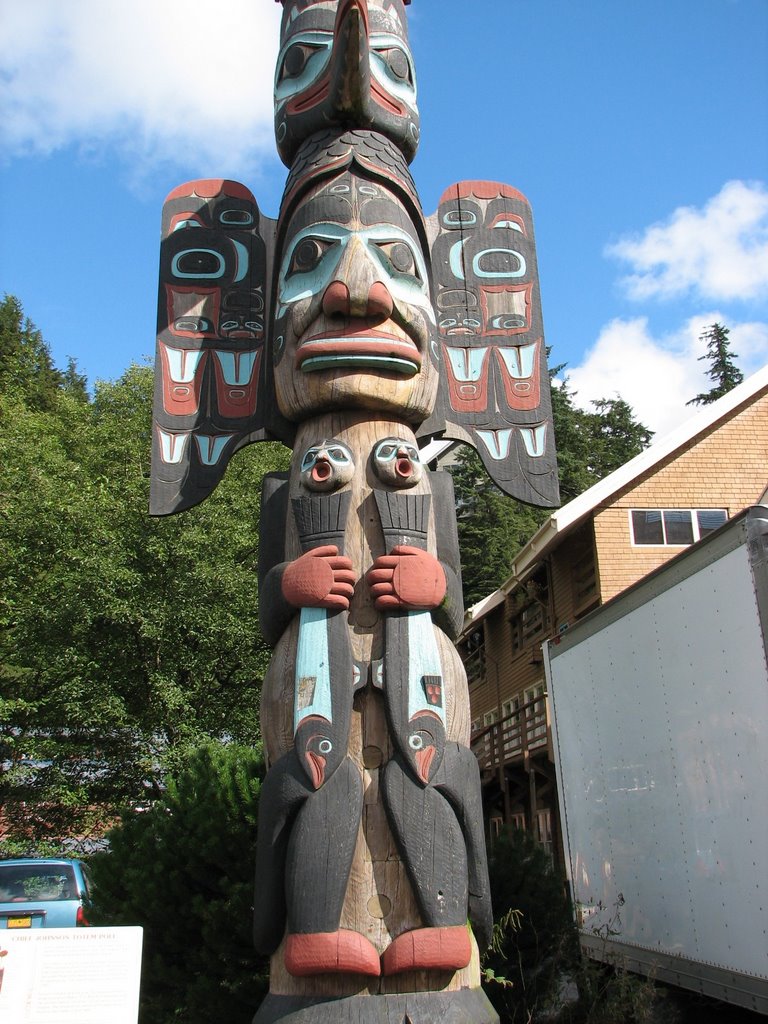
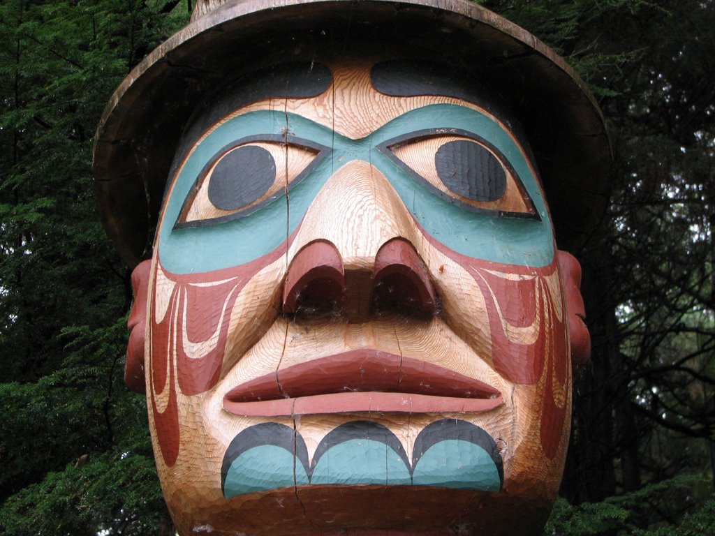
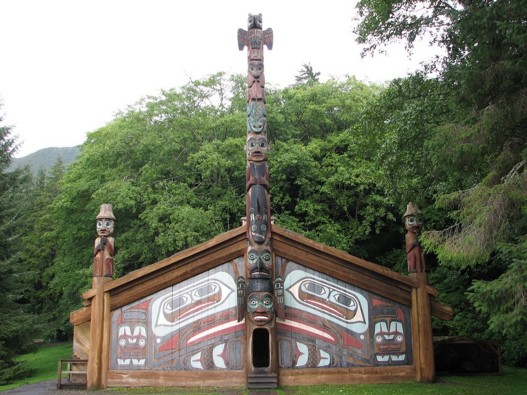
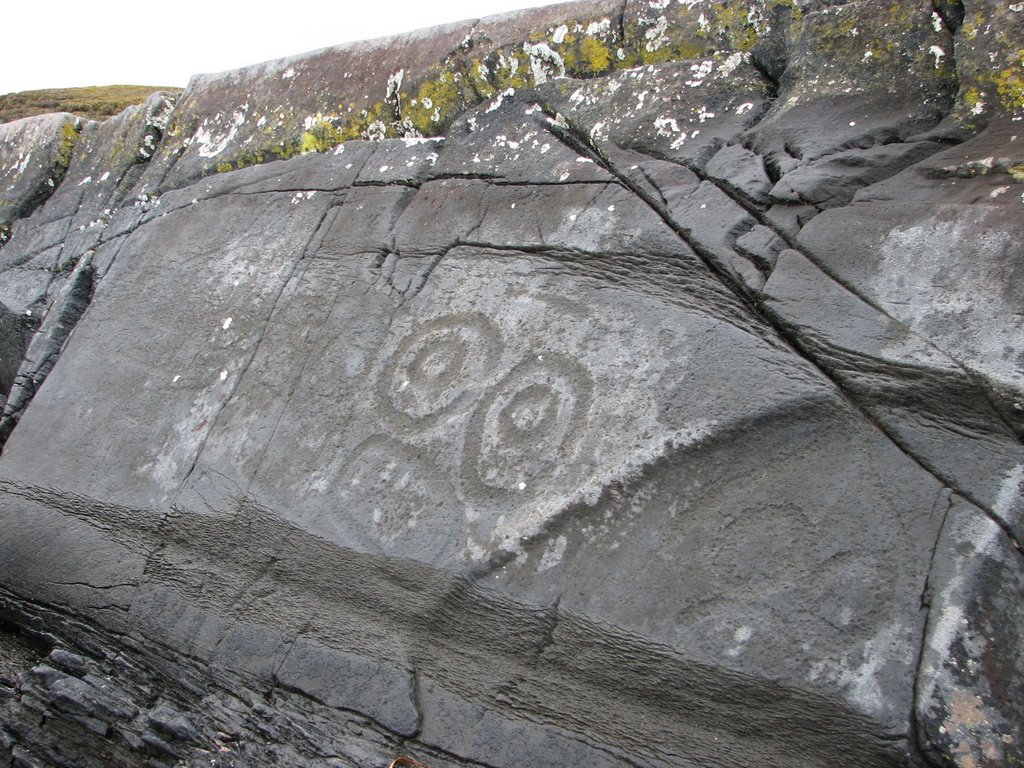
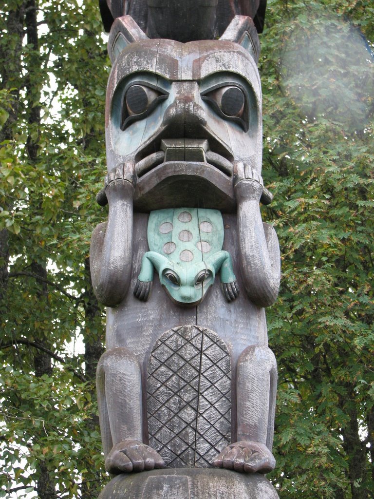
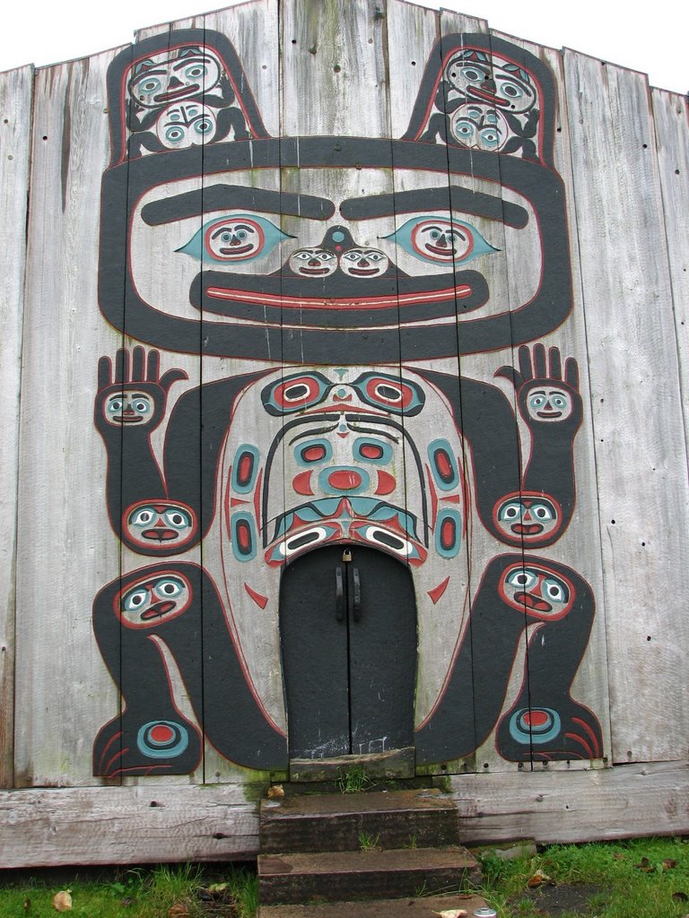
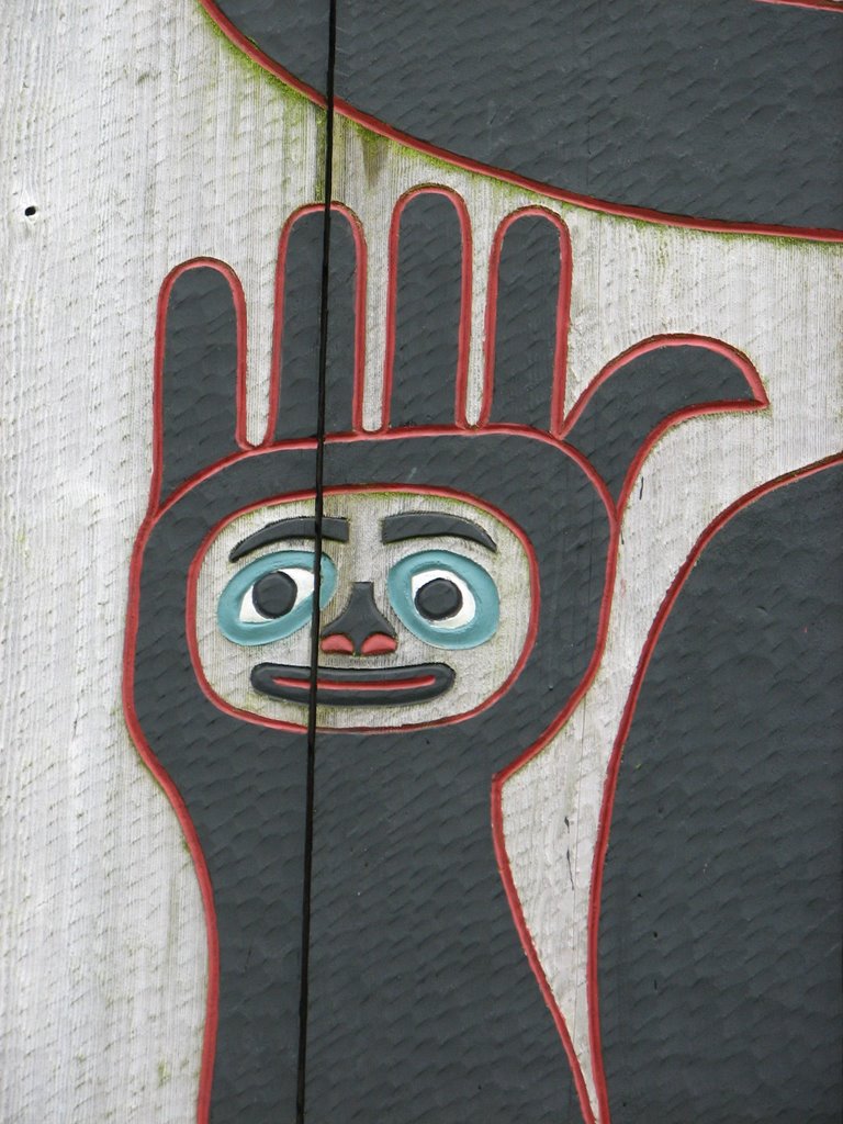
This has been my favorite stop on the trip since McCarthy and Kennicott. This little town of 1,200 people has got a lot going for it. Located on the northern tip of Mitkof Island, the Tlingit (Kling-kit) people have called this place home for centuries. In the late 1800’s a Norwegian immigrant selected the town site for a cannery and saw mill. Many Norwegian immigrants followed him and soon the town was born. Many of the present day local people can still trace their ancestral lines to some of the first immigrants to settle in Petersburg. Norwegian flags were everywhere, as was other hints of their ancestral heritage, like this huge Viking ship in the center of town.

Fishing is the main industry on the island. The men can be gone for up to six months at a time out on the fishing boats. One of the local girls working in the visitor center told us marriages don’t last too long in Petersburg. Cheating is very common due to long times spent apart. However that didn’t seem to damper the spirits of most of the people we saw. There were women everywhere – much different then other parts of Alaska.

Crab Traps

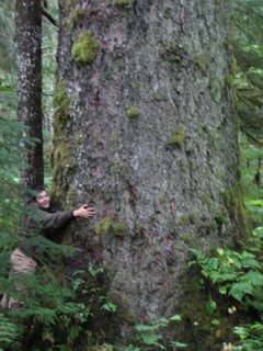
Petersburg, like much of southeast Alaska, is temperate rainforest. Not only did we see huge trees but there was moss covering almost everything. The tree branches were covered all the way to the needles.

Moss Covered Tree Branches

See Jody Really is a Tree Hugger

Even the beaches were covered in life. The tides are very dramatic in this part of the world and when low tide comes around a whole new world is uncovered. We walked around at low tide just to check out all the new critters.

When the clouds lifted enough to see across Frederick Sound on the eastern part of the island, the LeConte Glacier peaked out. There were even icebergs floating in the Sound.

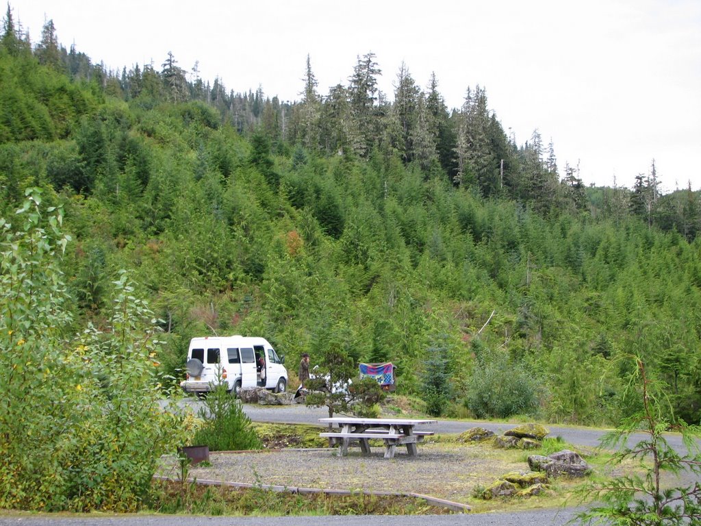
The US Forest Service maintains trails all over the island. Most of them are accessed from old logging roads and were made of planked boardwalk that got pretty slippery in some areas. To mitigate this, they had stapled some fish netting to the boards for added traction. We checked out three trails that each went to a different lake. All three had a rowboat and a small dock for the public to use. When the sun came out we took advantage of being out on the water. The dogs also got a kick out of it and Otis even went swimming!! I don’t think it was on purpose. He thought he could walk on the aquatic vegetation and when he tried he went completely under. You should have seen him swim when he popped back up. He could have beaten an Olympic swimmer he was so scared.

Sprout Checking Out the Water from the Boat

All of Us in the Rowboat

The island had a fair amount of wildlife. We saw Black Tailed Deer everywhere. Dave seems to think they must have come to an agreement with the cars – they would graze on the side of the road and get out of the way of the cars as long as the cars didn’t try to hit them. It seemed to be working because we saw lots of deer all along the roadsides, but none of them were dead. Ironically, we didn’t see that many male deer. (See there really were women everywhere on this island!!)

Black Bear

On the way back to the campsite one night we came across a mother porcupine bringing her baby across the road. The baby was so cute we couldn’t resist putting a couple of photos of it on the blog. I mean how many of you have ever seen a BABY porcupine? This was certainly our first.

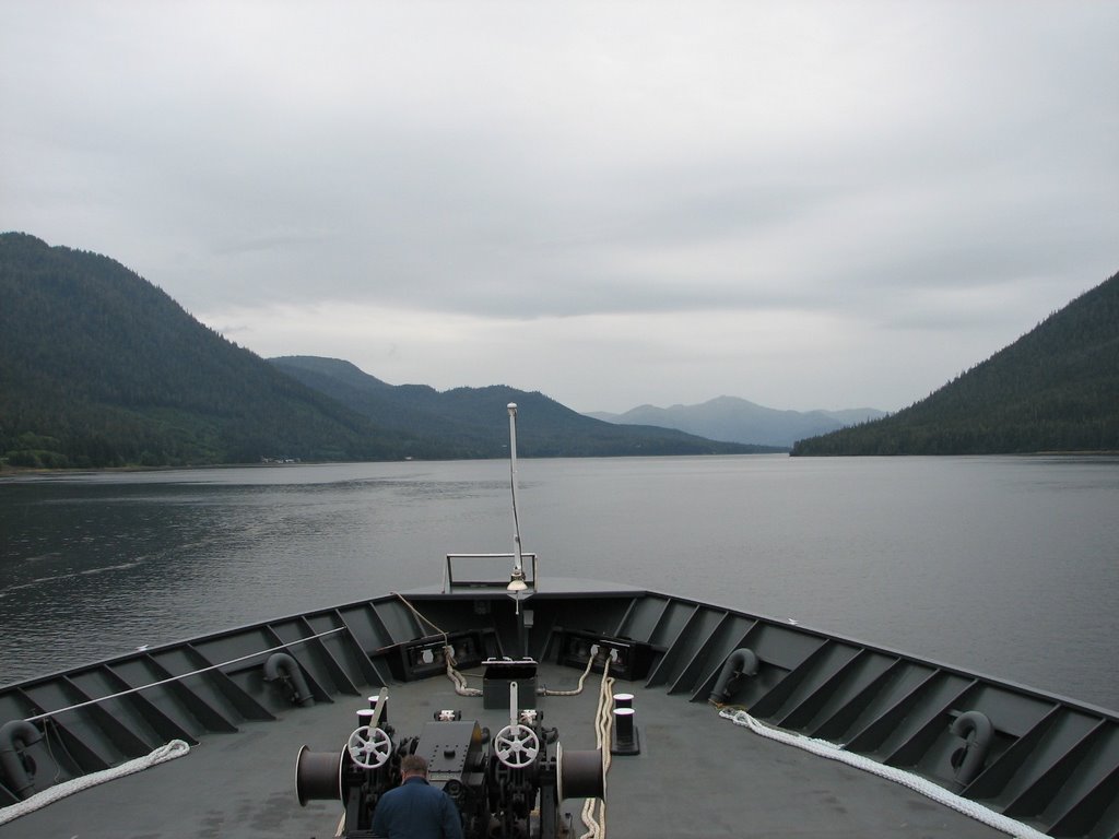
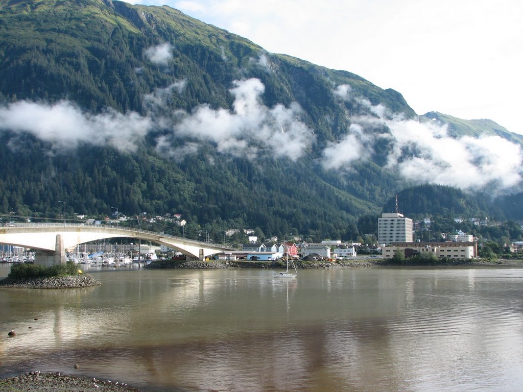
From Petersburg we were off to Wrangell via the Alaska Marine Highway. Unlike I said before, it is this stretch that contains the Wrangell Narrows (a very narrow stretch of water between two big mountains).

Saturday, September 02, 2006

Juneau

I am sure you are familiar with the song that starts off with “I’ve see fire and I’ve seen rain.” Coming from Interior Alaska, we sure have seen our taste of fire and now we can say we have definitely seen rain as well. Rain, rain and more rain. That seems to be the best way to describe Juneau. When we got into Juneau they were on their 34th day of rain. We were prepared for rain, seeing as though this is a rainforest, but we were not prepared for a steady downpour that lasted almost the entire time we were there. The sun finally came out today and we are basking in it. Dave is cleaning the van out while I’m typing this up. The dogs are lying outside getting a sun tan and Hans has exploded - all our stuff is outside trying to dry out. Once again we will keep our fingers crossed that this weather will stay put for our ferry ride south this afternoon.

Juneau is home to the most accessible glacier in the state, Mendenhall Glacier. This is a great example of a receding glacier. At the time the visitor center movie was made in 1999, the glacier was receding at a rate of 100 feet a year. It is now receding at a rate of 300 feet a year. (Hmmmm … global warming anyone! But wait, we all know human influence on global warming is a myth … right!) You could see a big difference between where the glacier was in the movie versus where it is now. Compare this to the glacier we saw on our boat trip in Seward. That glacier was a rare case. It was getting the same amount or more snow each year than what it was loosing to the water. As a result, it is one of the only stable glaciers in the world.

Downtown Juneau is situated between the fjords and the coastal mountains making developable land scarce. All the waterfront property has pretty much been developed so they are moving their building operations up the mountain sides.

Once again we came across a great free camping spot on the road to the ski resort. The road had very little traffic and had rainforest on both sides. It was fun to get out and experience the rainforest up close. Fairbanks doesn’t have very many big trees, so it was a real treat to be amongst giants of trees. And down here everything is coated in moss. It is kind of similar to Louisiana in that way.

We will hop back on the ferry this afternoon for a seven hour trip to Petersburg, another small coastal community. We will go through some VERY narrow fjords, just big enough for the ferry to pass through and too small for the large cruise ships. If the weather holds we will do our best to capture it in photos.

Whitehorse to Haines

From Whitehorse we headed back towards Alaska. The scenery was stunning once we hit Haines Junction and pointed Hans south. Here is just a taste of what we saw along the way.

We took a short side road to a great free camping spot. Along the route we ran across these determined mushrooms. They were poking through the gravel road.

We also came across this deluxe fishwheel. It is common to see fishwheels along the major river routes. The Natives use them to catch their fish without having to keep their pole in the water the entire time. They will anchor the fishwheel in the current and let the current spin it. Fish swimming in the area will be picked up in the basket and deposited into the collection area where they will await their fate. This particular one was very nice; sturdy, well built and some parts made with metal.

Haines is a neat little town settled in the coastal mountains and along a VERY deep fjord. It looks like a sleep fishing village and in fact I think that is just what it is.

Haines is home to the first fort built in Alaska. Instead of being built against a worthy enemy, it was built due to border disputes, with of all countries, Canada. Anyway when it was decommissioned in 1947 a few vets bought it and have turned it into a great artsy center. The old buildings are now home to a couple of B&Bs, a hotel and an Indian Arts Center. We talked with a local totem carver. He was very knowledgeable and told us all about the old days when totems were placed in front of houses as a way of welcoming guests and showcasing which clans they were from.

One stretch of road just outside of town had undergone major repairs. We couldn’t really figure out why until we got back a ways and looked back. A huge clear cut above that stretch of highway was to blame. See Mother Nature always wins!! When you remove all the tress from an area there is nothing to hold the soil together and it is very easy for it to slough off. This is especially true of steep slopes like the ones around Haines.

In Haines we boarded the ferry and headed south to the capital city of Alaska, Juneau.